Skip to content
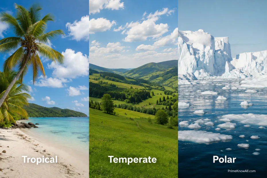
Earth's climate zones illustration shows tropical, temperate, and polar regions with different landscape features.

Climate Zones of Earth: Tropical, Temperate, Polar

Earth’s three broad climate zones are tropical, temperate, and polar. Tropical regions receive strong sunlight through the year, temperate regions experience larger seasonal changes, and polar regions receive the weakest annual solar energy. These patterns come mainly from latitude, Earth’s curved surface, and its tilted axis, although oceans,… 
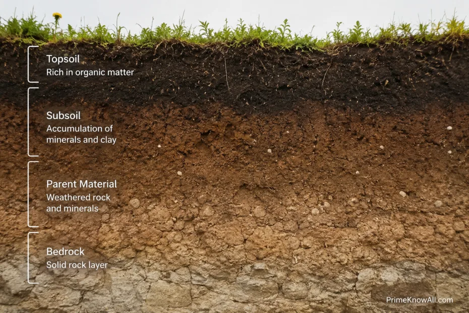
Close-up of grassy topsoil layered over darker soil and underlying minerals.

Soil Formation: How Soil Develops Over Time

Soil forms when parent material is weathered, mixed with organic matter, and altered by water, living organisms, climate, landscape position, and time. This process is called pedogenesis. It may begin soon after fresh rock or sediment is exposed, but distinct soil horizons commonly need hundreds to thousands of… 

Split image showing weathered rocks on the left and a flowing river on the right.

Weathering vs Erosion: What’s the Difference?

Weathering breaks down or chemically changes rock where it is, while erosion removes and transports material from one place to another. A cracked boulder that has not moved is an example of weathering; sand carried downstream by a river is undergoing erosion. The two processes often work together,… 

A rugged canyon with layered rock formations shaped by water and wind erosion.

Erosion Explained: Water, Wind, and Ice

Erosion is the movement of rock, soil, and sediment from one place to another by forces such as water, wind, and moving ice. Water carries particles through rainfall, runoff, rivers, and waves; wind lifts and rolls loose material; glaciers scrape and pull rock from the ground as they… 

Glacier with jagged ice formations flowing between snow-capped mountains in a cold, remote landscape.

Glaciers Explained: How They Form and Move

Glaciers form where snow survives from year to year, becomes denser, turns into glacier ice, and grows thick enough to deform and flow under gravity. They move mainly through internal deformation within the ice and movement at the bed, which can include basal sliding over rock or water-rich… 

A lone tree stands on cracked, dry desert ground under a blue sky.

Desert Formation: Why Some Regions Become Dry

Deserts form where a region receives too little usable moisture over long periods. The cause may be sinking dry air, mountain barriers, cold ocean currents, great distance from moisture sources, or extreme cold. Many deserts develop through a combination of these processes working together. Low rainfall is only… 

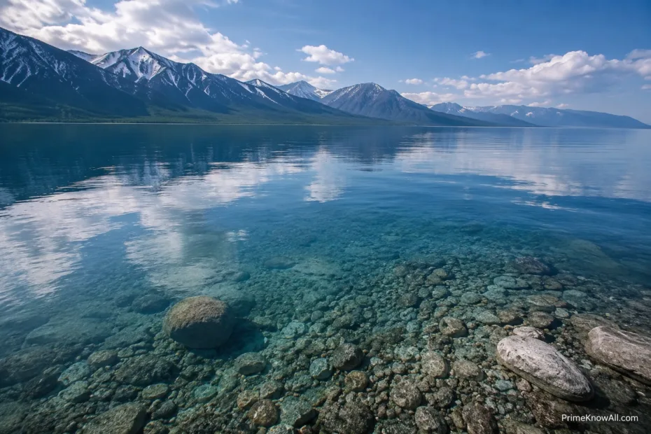
Turquoise lake with snow-capped mountains reflected on the water's surface.

The Deepest Lakes in the World

Lake Baikal in Russia is the deepest surface lake on Earth, reaching about 1,642 metres (5,387 feet) at its deepest measured point. Lake Tanganyika follows at about 1,470 metres, while the saline Caspian Sea reaches about 1,025 metres and is commonly treated by geographers as a lake despite… 

Crystal-clear lake water laps against rocks along the shoreline with distant mountains in the background.

The World’s Largest Lakes by Area

The world’s largest lake by area is the Caspian Sea, an inland water body so wide that many maps label it with the word “sea.” By common reference ranking, it is followed by Lake Superior, Lake Victoria, Lake Huron, and Lake Michigan. A lake’s surface area means the… 

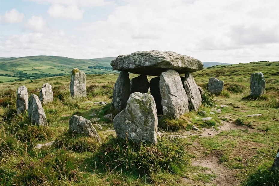
Sundial-like stone arrangement with large upright stones and a flat capstone in a grassy landscape.

Prehistoric Megalithic Structures Worldwide

Prehistoric megalithic structures are large stone monuments built before written records in many parts of the world. They include standing stones, dolmens, stone circles, passage tombs, temples, and carved stone jars. Their main uses were burial, ritual gathering, landscape marking, seasonal timing, and public memory. A megalith is… 

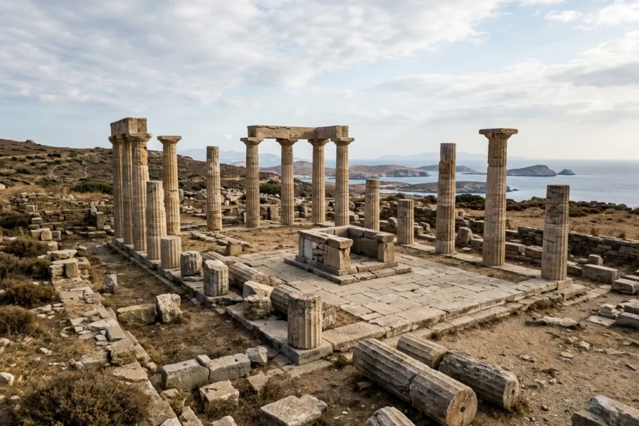
Ruins of ancient religious structures with broken columns and stone foundations set against a cloudy sky.

Ancient Religious Structures and Ritual Spaces

Ancient religious structures were not only old temples; they were carefully shaped ritual spaces where people managed time, memory, death, power, astronomy, food, sound, movement, and community identity. Many of these places were built long before written records, so archaeologists read them through stone layout, buried objects, human… 

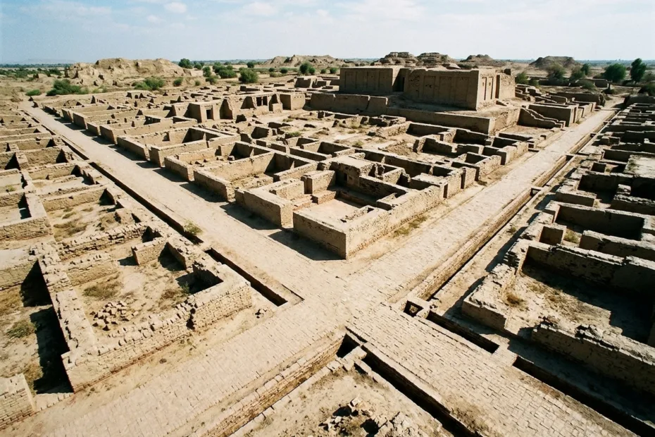
Ancient ruins of Indus Valley city planning with grid-like streets and brick structures visible from above.

Ancient City Planning in Indus Valley

Ancient city planning in the Indus Valley was not just about straight streets. It was a practical urban system built around water control, baked-brick construction, drainage, street order, neighborhood access, and shared standards across many settlements. The best-known Indus cities, including Mohenjo-daro, Harappa, Dholavira, Lothal, Kalibangan, and Rakhigarhi,… 

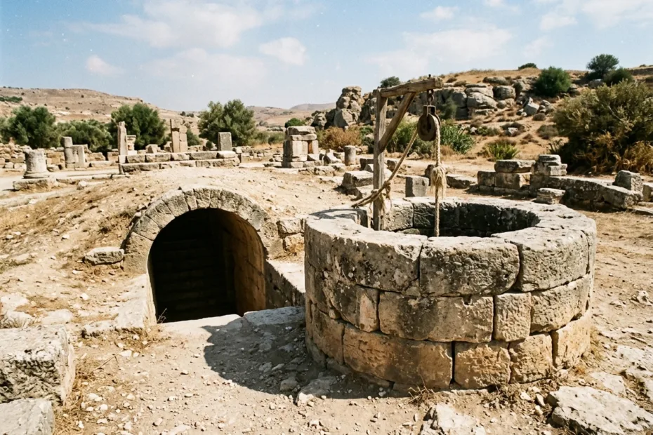
Ancient stone water well with a round opening and dry surroundings in a historic site.

Ancient Water Wells and Cisterns

Ancient water wells reached groundwater below the surface, while cisterns stored water collected from rain, springs, aqueducts, or manual delivery. Communities often used both systems because they solved different problems: a well depended on local geology, while a cistern could save water when rainfall or outside supply was… 

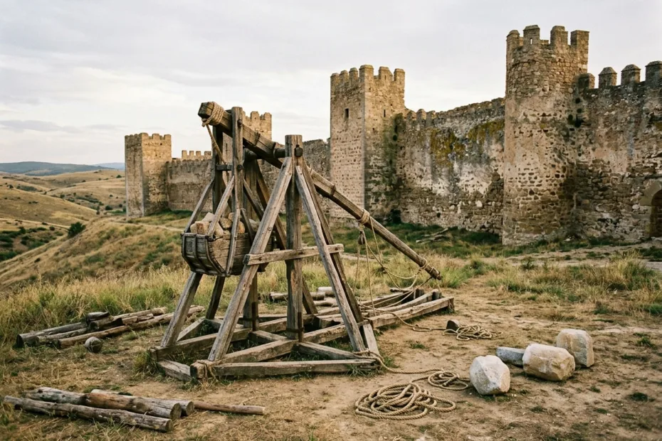
Ancient wooden siege engine positioned in front of stone castle walls with battlements.

Ancient Siege Engines and Fortifications

Ancient siege engines were practical machines built for one hard job: getting past walls that were designed to slow, expose, and exhaust attackers. Fortifications were not just stone barriers. They were layered systems of height, distance, gates, towers, ditches, earthworks, storage, and psychology. Ultra-short answer: Ancient siege warfare…